June 19, 1776

The Burlington County, NJ Courthouse built in 1796 still stands today. The courthouse bell, removed from the earlier courthouse where support for independence was authorized, was placed in the belfry and rang for liberty after the Declaration of Independence was signed.
https://www.loc.gov/pictures/item/nj0353.photos.111245p

Just days after Connecticut endorsed independence, the Fourth Provincial Congress of New Jersey convened on June 19, 1776 in Burlington County and authorized the drafting of a new state constitution. This decisive step effectively dissolved royal authority in the colony and paved the way for New Jersey’s delegates to the Continental Congress to formally support independence.

While the people of Connecticut awaited word on whether the Continental Congress would take the final leap toward independence, towns and ports across the colony were already preparing for war.

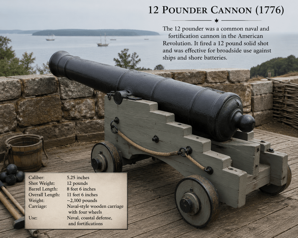
With its long coastline and deep maritime tradition, naval defense had become a pressing priority for Connecticut. The colony had already established the Connecticut State Navy, a small but resolute force tasked with protecting coastal commerce and challenging British shipping along New England’s waters.

Rendering of the Connecticut Navy Brig Defence

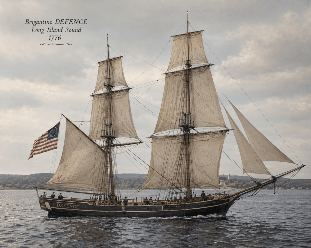
One of the Connecticut State Navy’s most important vessels was the brigantine-of-war Defence. Purchased, outfitted, and armed by Connecticut, the ship entered service in the spring of 1776 under the command of Captain Seth Harding. By mid-June 1776, Defence had already proven her value, participating in the capture of two British transport vessels, the George and the Annabella—off the coast of Boston.

The Defence would later come under the command of Samuel Smedley of Fairfield, who used the vessel to pursue Loyalists attempting to cross Long Island Sound carrying intelligence and supplies that could aid British forces.

Sources:

https://www.facebook.com/61577395126628/posts/june-19-1776-new-jersey-breaks-with-the-crownby-mid-june-1776-the-colony-of-new-/122173670780913170/

https://www.americanrevolution.org/naval-history-1776-events/

https://allthingsliberty.com/

https://iconicnorwich.org/ocean-vessels/

https://www.co.burlington.nj.us/m/newsflash/home/detail/2770

April 28, 1776

Fortifying Black Rock Harbor


By 1775 , Black Rock Harbor had established itself as a primary shipping center for the Fairfield colony. The harbor offered a sheltered and deep channel for shipping, and their cargos had easy access to Kings Highway and the surrounding communities. In 1753, a bridge and road across Ash Creek were completed and created direct access to Fairfield Center. More importantly, the three wharves at the base of the harbor provided the infrastructure required for the maritime trading and ship building and maintenance activities.

The Black Rock natives actively supported the colonial rebellion. By 1776, some members of the community had headed to Boston and New York to assist local militias who were facing British forces. The Black Rock maritime economy was also suffering from the closure of Boston and New York harbors. Recognizing the possibility of a British raid on its community, Thaddeus Burr and Gold Selleck Silliman approached the Connecticut Assembly in February 1776 and requested assistance in fortifying the harbor. This was ultimately approved by the Connecticut Council of Safety which authorized the construction and manning of a fort on Grovers Hill (often referred to as the Black Rock Fort). The fort was to be manned by a 25-man garrison overseen by one lieutenant and two sergeants. The initial construction and staffing were overseen by Lieutenant Jonathan Mills. Two 12 pounder cannons were later authorized to be mounted within the fort and thereby provide the firepower needed to defend the harbor entrance.

The 12 pounders could fire solid shot up to 1,600 meters (shown as a white arc on the accompanying map) but had an effective firing range of 900 meters (shown as a red arc) and 500 meters if the guns were firing cannister, which essentially converted them into large shot guns that would be employed if directly assaulted, (the yellow arc).

The fort’s location has been subject of debate as to whether it was located on the edge of the harbor or further up Grovers Hill. However, a strong argument could be made that it was located on the edge of the harbor at what is referred to as Battery Point. This location would have provided a clear field of fire for the cannon and would have been easily accessible by boat. In fact, there were no roads accessing this portion of the Black Rock peninsula at this time. The road terminated at the current corner of Balmforth Street and Grovers Avenue. Beyond this point were foot trails. Given that the barrel alone of a 12 pounder exceeded 2000 pounds and was approximately eight and a half feet long, it is most likely that the guns were delivered to the fort by boat and not dragged up the hill. It was not until 1779 that the two cannons were fired in anger at an invading force.

Sources:

Fairfield the biography of a community 1639 -1989 Farnam, Thomas J, Fairfield Historical Society, 1988

Black Rock Seaport of Old Fairfield Connecticut 1644-1870, Including the Journal of William Wheeler, resident of Black Rock 1762-1845, Pages of History gathered by Cornelia Penfield Lathrop, Tuttle, Morehouse & Taylor Company, New Haven, CT 1930